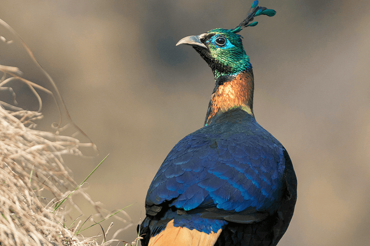
This meticulously redesigned expedition maps the breathtaking altitudinal transition zones of the Eastern Himalayas, tracing a rich ecological gradient from the dense, lowland Terai sal forests of the Mahananda basin up to the misty, broadleaved mountain ridges of Latpanchar, Kurseong, and Darjeeling. Operating within one of the world's most critical biodiversity hotspots, this itinerary is engineered to optimize close-quarters lens opportunities for globally threatened avian specialties, montane endemics, and cryptic sub-montane mammals.
The core architecture of this route leverages private access to a network of specialized photography hides strategically positioned across distinct micro-climates, alongside targeted night tracking sessions for elusive nocturnal species. Bypassing rigid commercial loops, every phase of this journey is ground-engineered completely offline. Led by veteran local naturalists and native trackers who map individual nesting sites and territory calls, we utilize high-clearance private transit and premium buffer-zone eco-lodges to deliver an flawless, world-class field experience for serious wildlife photographers and international naturalists.